Showing posts with label NEW SOUTH WALES - ILLAWARRA DISTRICT. Show all posts

Tuesday, May 15, 2007

19th June 2006 – Fitzroy Falls and Information Centre – Fitzroy Falls NSW

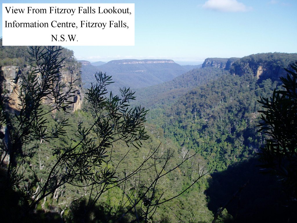
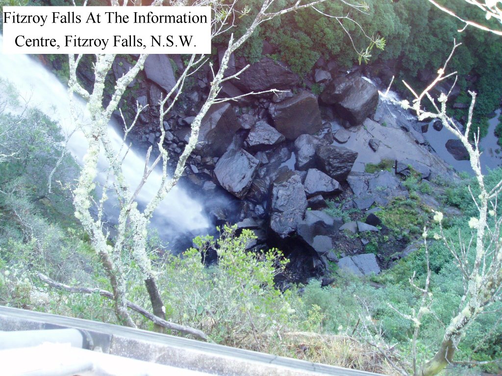
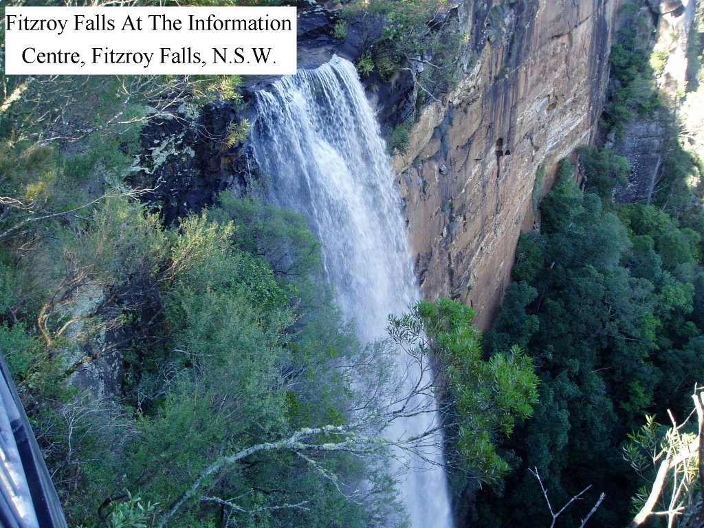
19th June 2006 – Fitzroy Falls and Information Centre – Fitzroy Falls NSW – Plenty of walking tracks are provided at the falls with two being accessible for those with disabilities. The Wildflower Walk along the escarpment starts at the visitor centre and winds through bushland and fern gullies. This walk takes about two hours (return). A 200 metre walk to the falls lookout from the information centre gives a vast panorama of the Yarrunga Valley. A cafĂ© provides meals at the information centre

This site is not listed in Camps Australia Wide No. 5
or Camps Australia Wide No. 6
GPS: NOT RECORDED
Select "Ctrl+" to increase size of photos and print




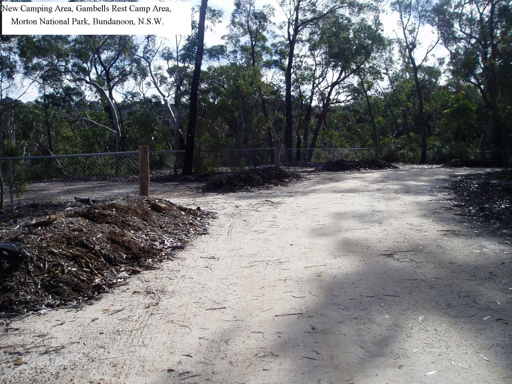
20th June 2006 – Gambells Rest, Picnic & Camping Area, Morton National Park

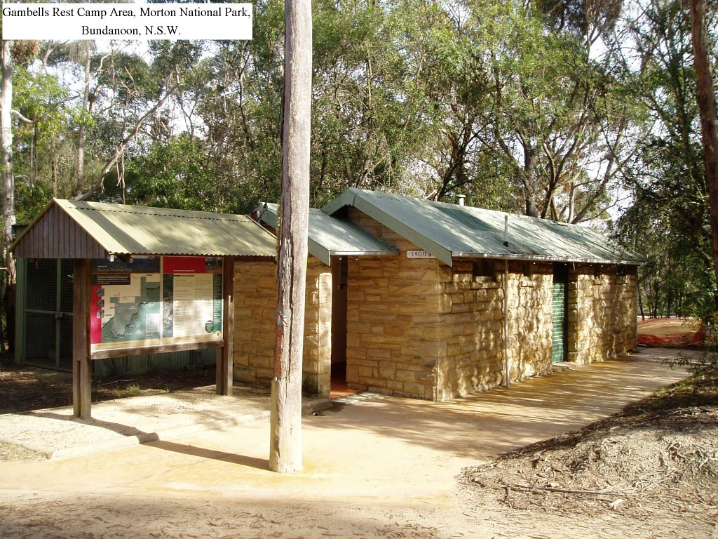
20th June 2006 – Gambells Rest, Picnic & Camping Area, Morton National Park – 1k South of Bundanoon NSW. Upgraded recently, this park now has a large sheltered camping kitchen surrounded by new camping sites. Hot showers are provided in this park within walking distance of the Bundanoon shopping centre. There are plenty of walking tracks with one (Erith Coal Mine Track) starting from the camping area (1-hour return). At this time, wood fire BBQ’s are also provided (bring your own wood) as well as town water. Park Use Fees Apply - Bookings Essential At Fitzroy Falls Information Centre

Camps Australia Wide No. 5 Site No. N - 0542
Camps Australia Wide No. 6 Site No. N - 0551
GPS Reference: 34*40'10.6"S - 150*17'52.0"E
Select "Ctrl+" to increase size of photos and print
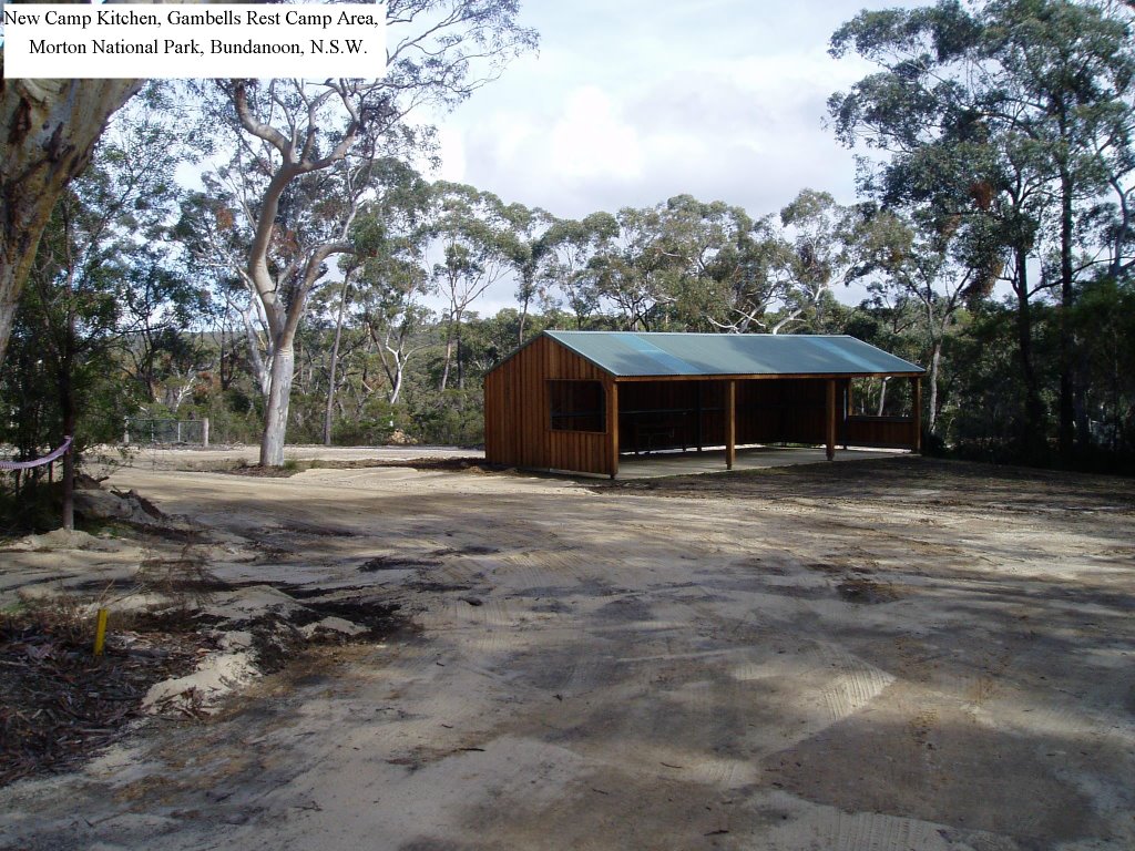


21st June 2006 – Gambells Rest, Morton National Park

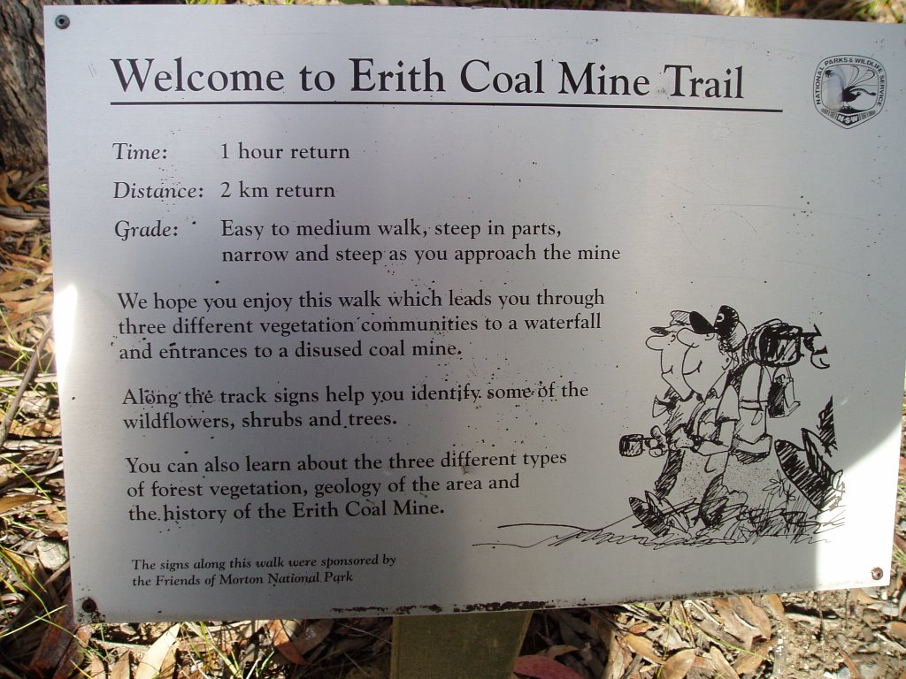
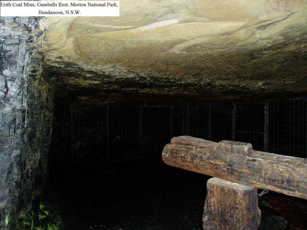
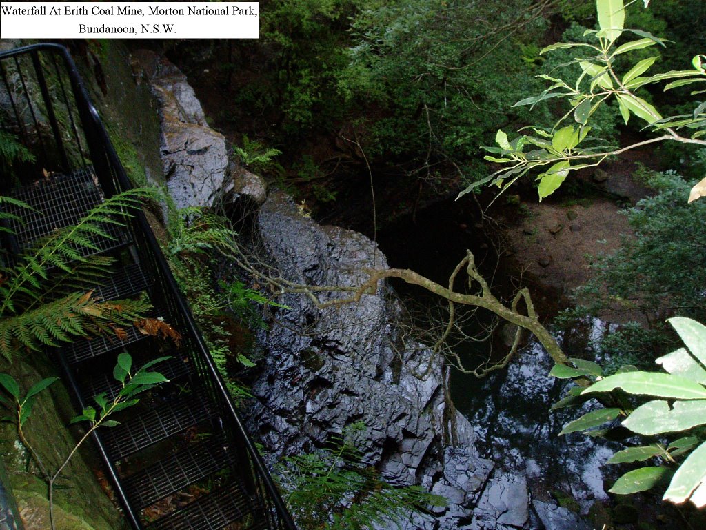
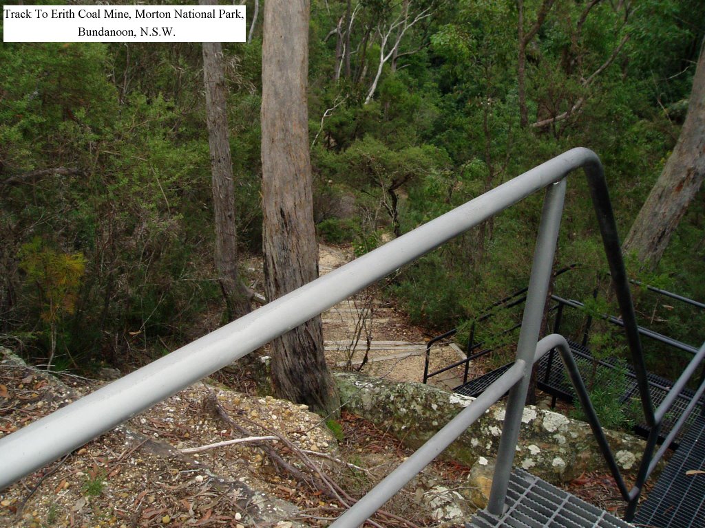
21st June 2006 – Gambells Rest, Morton National Park – 1k South of Bundanoon, NSW. – Erith Coal Mine Track – This walking track slopes downward from the camping area and has many steps. There are also some ladders on the well-defined pathway. Seats are provided to enjoy the view and at the mine site, a small waterfall flows into a pond that may contain platypus. Informative signs describe the native vegetation along the track. We used the alternate route along a fire track to return to the camping site. There is a carpark at the top of the fire trail that has a BBQ and table for a picnic. This walk is recommended -

Camps Australia Wide No. 5 Site No. N – 0542
Camps Australia Wide No. 6 Site No. N – 0551
GPS: 34*40'10.6"S - 150*17'52.0"E
Select "Ctrl+" to increase size of photos and print
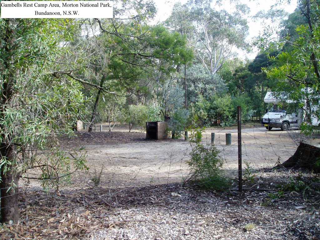


21st June 2006 – Gambells Rest, Morton National Park

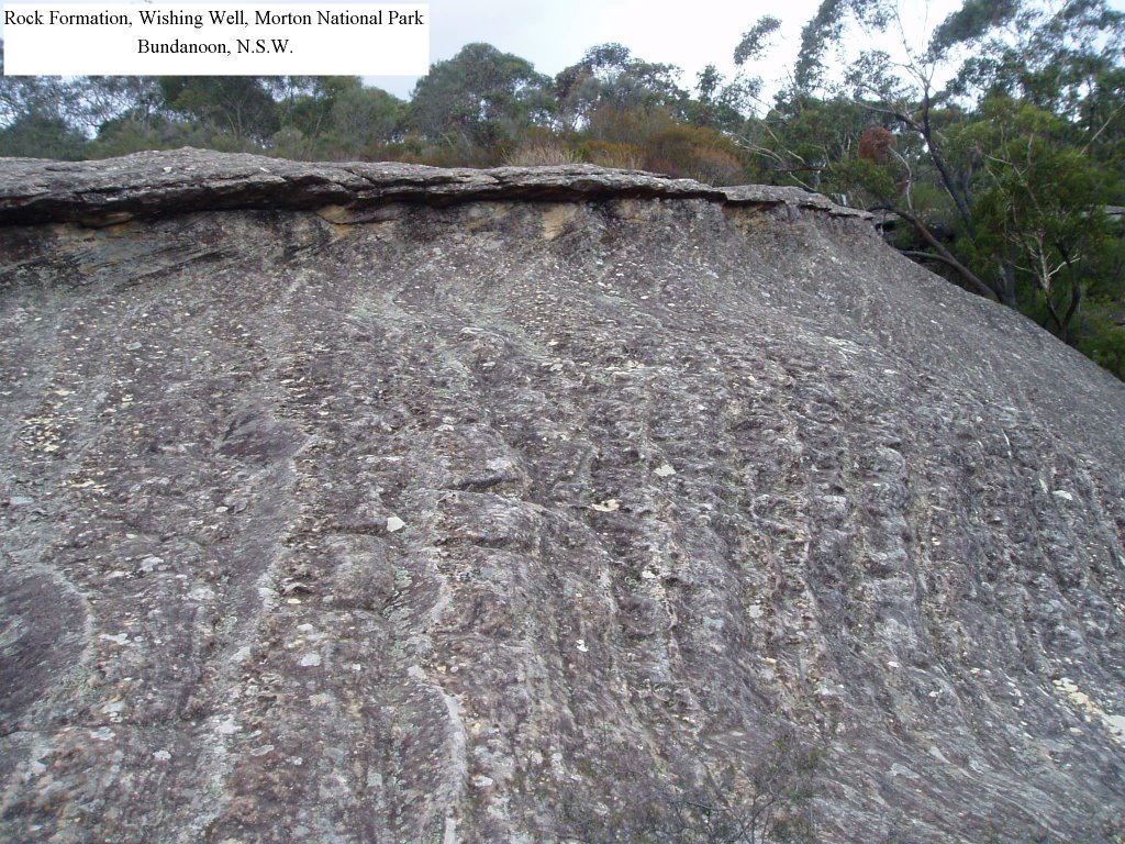
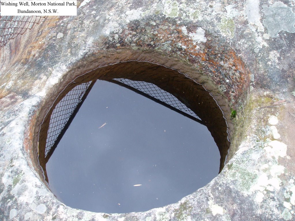
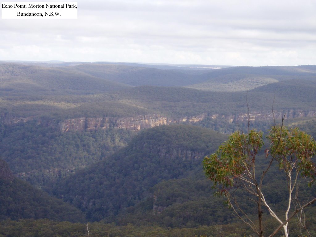
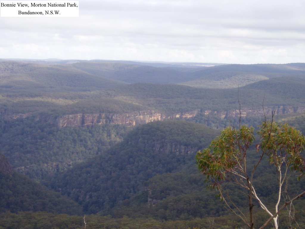
21st June 2006 – Gambells Rest, Morton National Park – 1k South of Bundanoon, NSW. – Other walks at Gambells Rest are: Echo Point (1 hour loop) that passes the "Wishing Well", Bonnie View, Beauchamps Cliffs & Mount Carnarvon (30 minutes return - Camps Australia Wide No 5 Site No. N - 0542 - GPS: 34*40'10.6"S - 150*17'52.0"E - CLICK ON PHOTOS TO ENLARGE


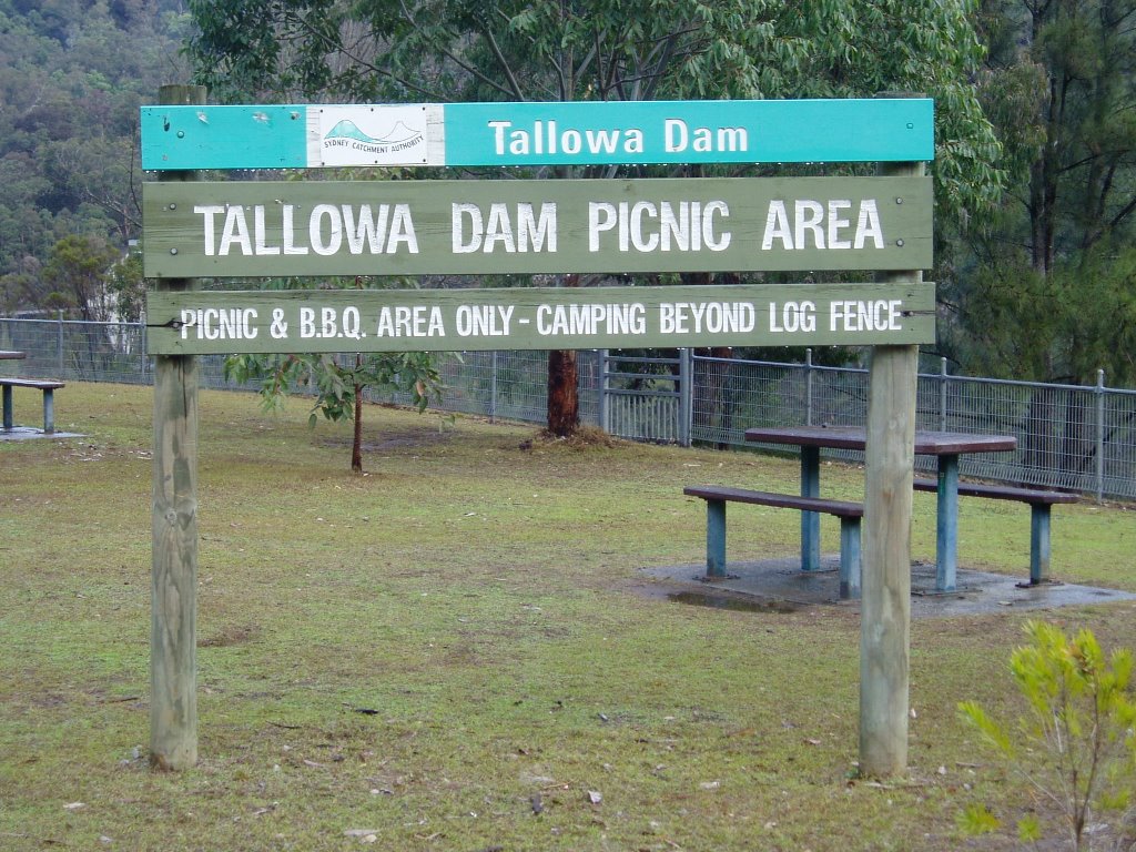
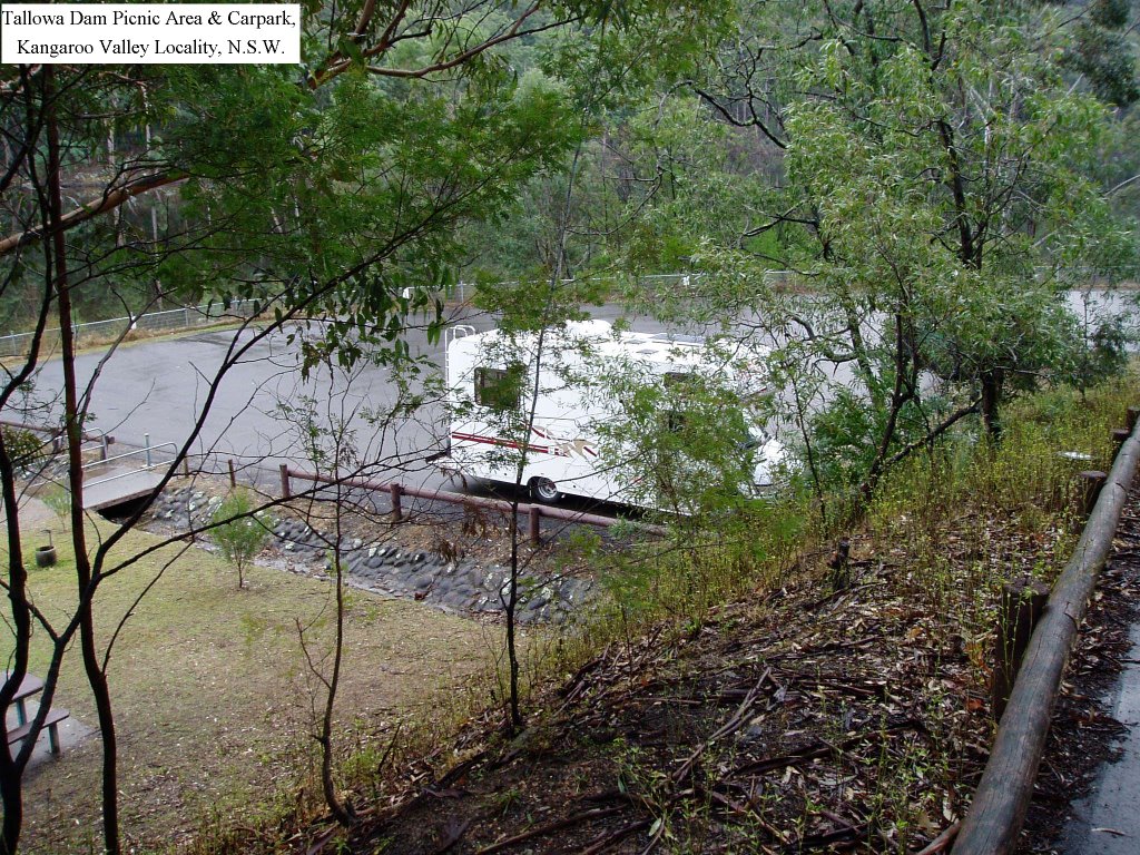
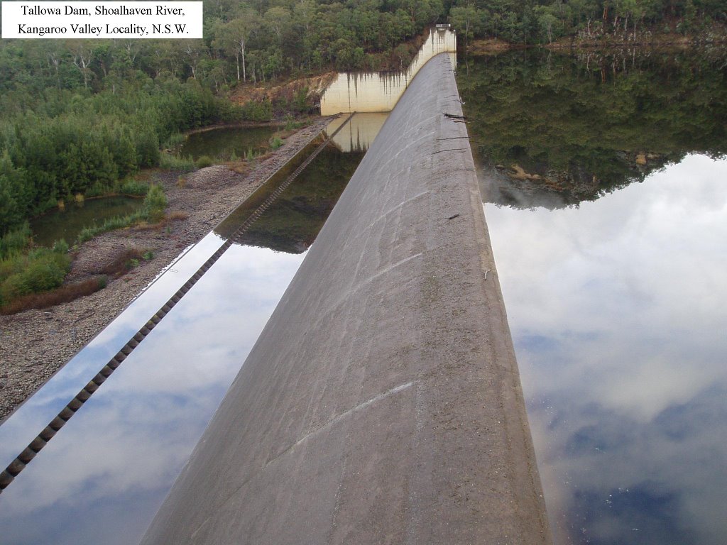
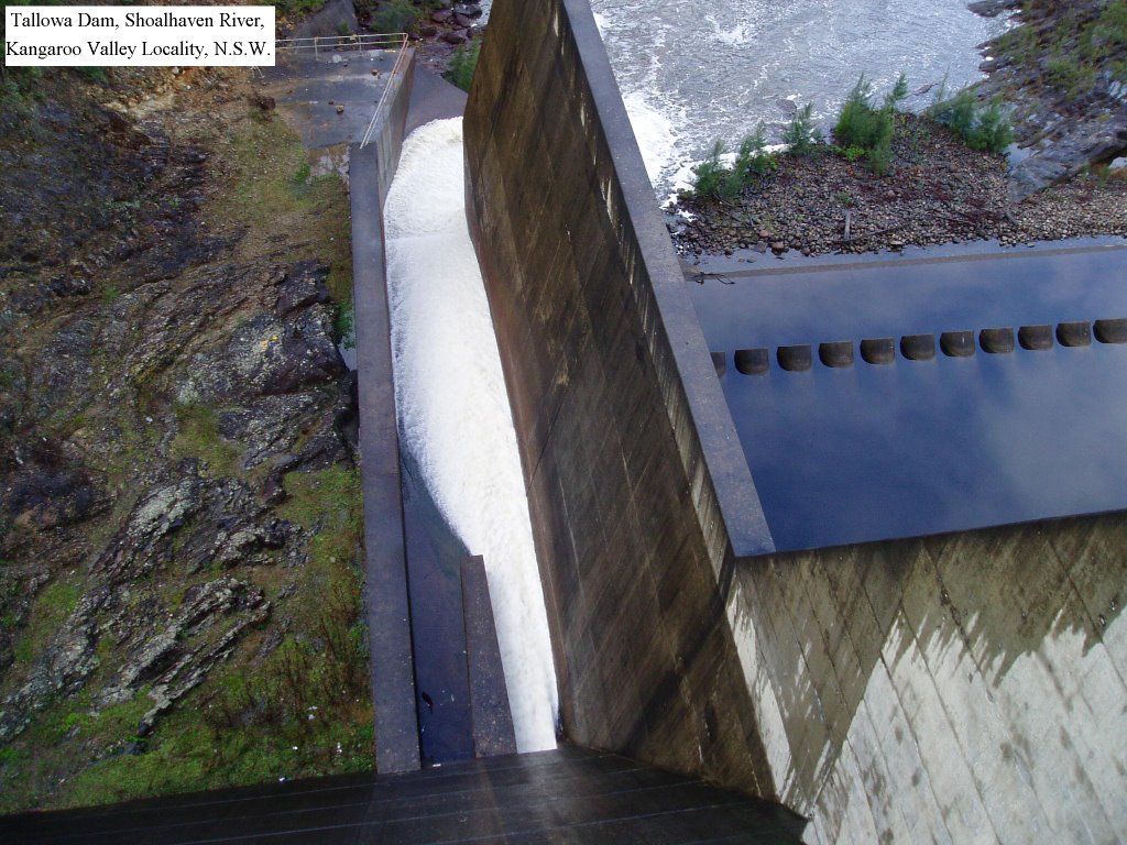
22nd June 2006 – Tallowa Dam, Shoalhaven River

22nd June 2006 – Tallowa Dam, Shoalhaven River, Kangaroo Valley, 25k West Kangaroo Valley Township, NSW. There is plenty of wildlife along this fully sealed access road to the dam from Kangaroo Valley. Car based camping is available and it is possible to park overnight in the car park. Electric BBQ’s are provided in the well grassed picnic and camping areas. Non-powered boating is permitted, however access to other parts of the dam site is limited. Septic toilets, and untreated water is available adjacent to the parking area.

This Site is not listed in Camps Australia Wide No 5.
GPS: 34*46’12.4"S – 150*18’56.7"E.
Select "Ctrl +" To increase size of photos and print