Showing posts with label SYDNEY METROPOLITAN DISTRICT. Show all posts

Tuesday, May 15, 2007

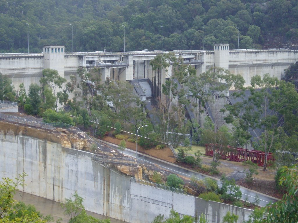
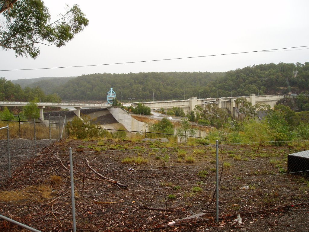
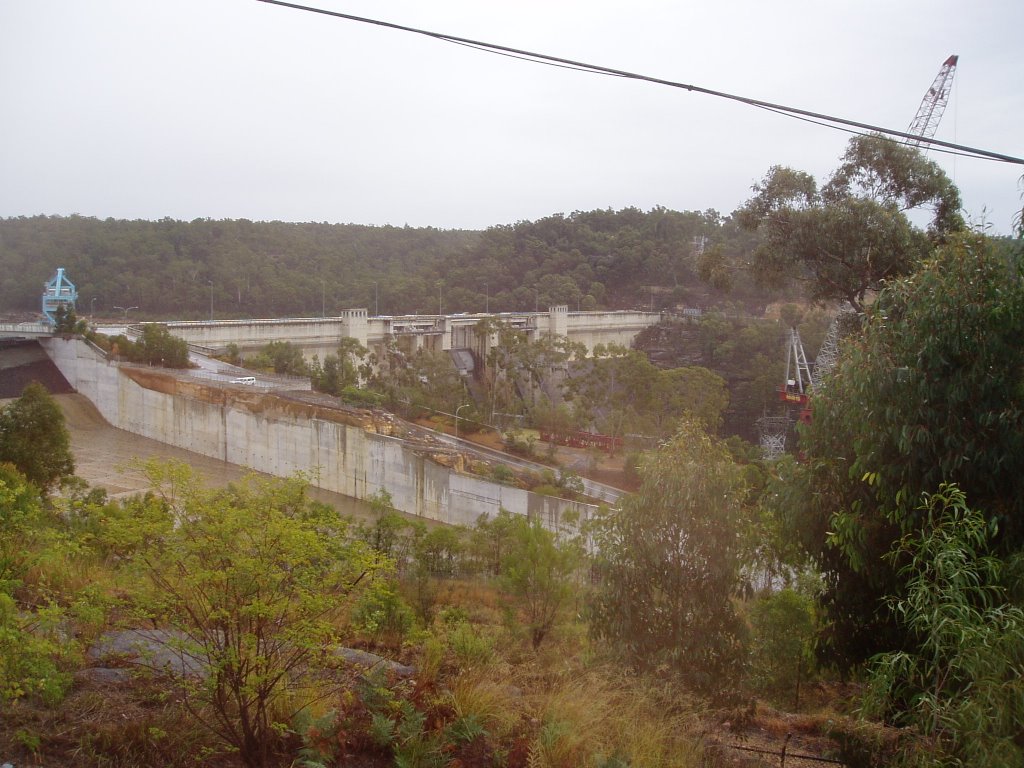
5th June 2006 – Warrangamba Dam – Warrangamba

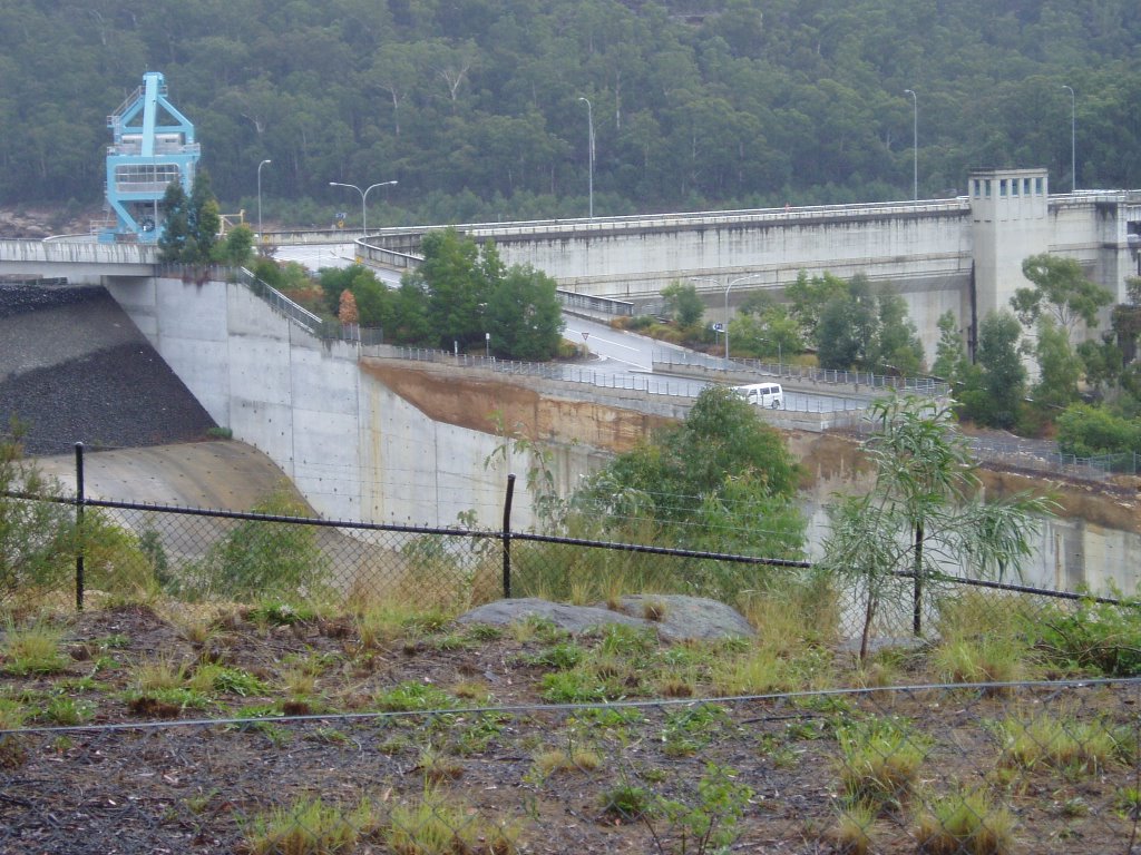
5th June 2006 – Warrangamba Dam – Warrangamba, Sydney (Penrith) area, New South Wales. A observation deck is located within the town and is easily found by following the signs. Also in town is a large picnic area that has plenty of shelter sheds, toilets and BBQ’s. No camping is permitted at Warrangamba and there is no caravan park

This site is not listed in Camps Australia Wide No. 5
or Camps Australia Wide No. 6
GPS: 33*53'00.0"S - 150*35'55.0"E
Select "Ctrl+" to increase size of photos and print .
6th June 2006 – Bents Basin State Conservation Area

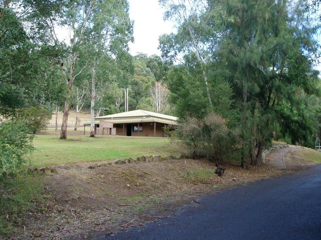
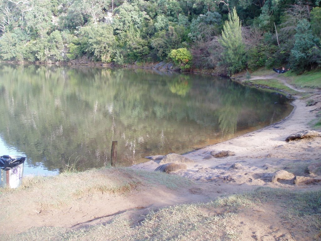
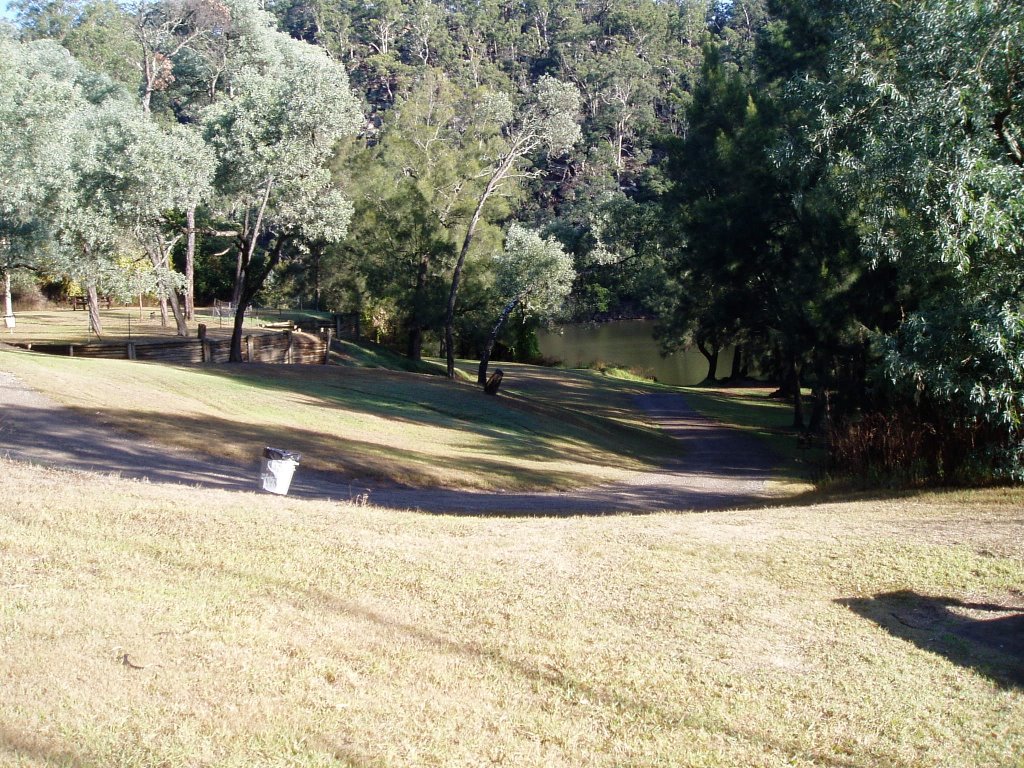
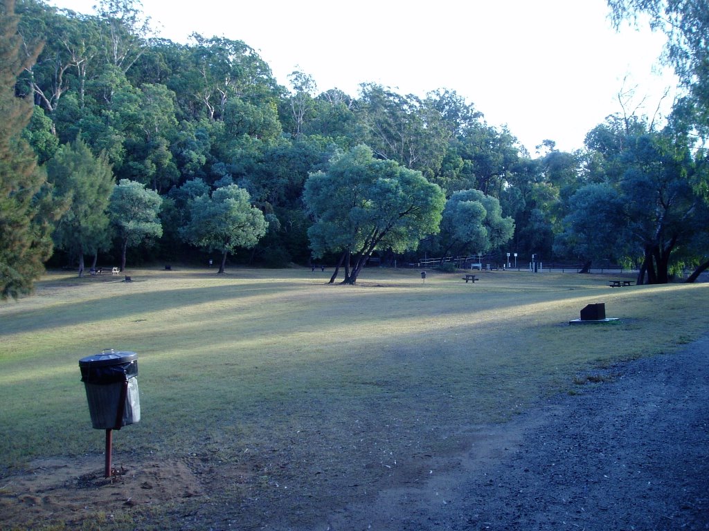
6th June 2006 – Bents Basin State Conservation Area, Wolstenholme Avenue, Greendale, is approximately 15k South of Warrangamba, Sydney Basin, New South Wales. Large camping and picnic areas are provided at this park (fees apply). In the busy months, a Kiosk is open at the Education Resources Centre.
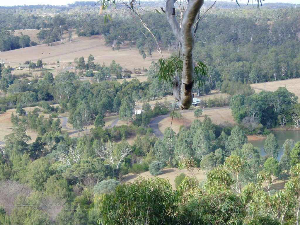
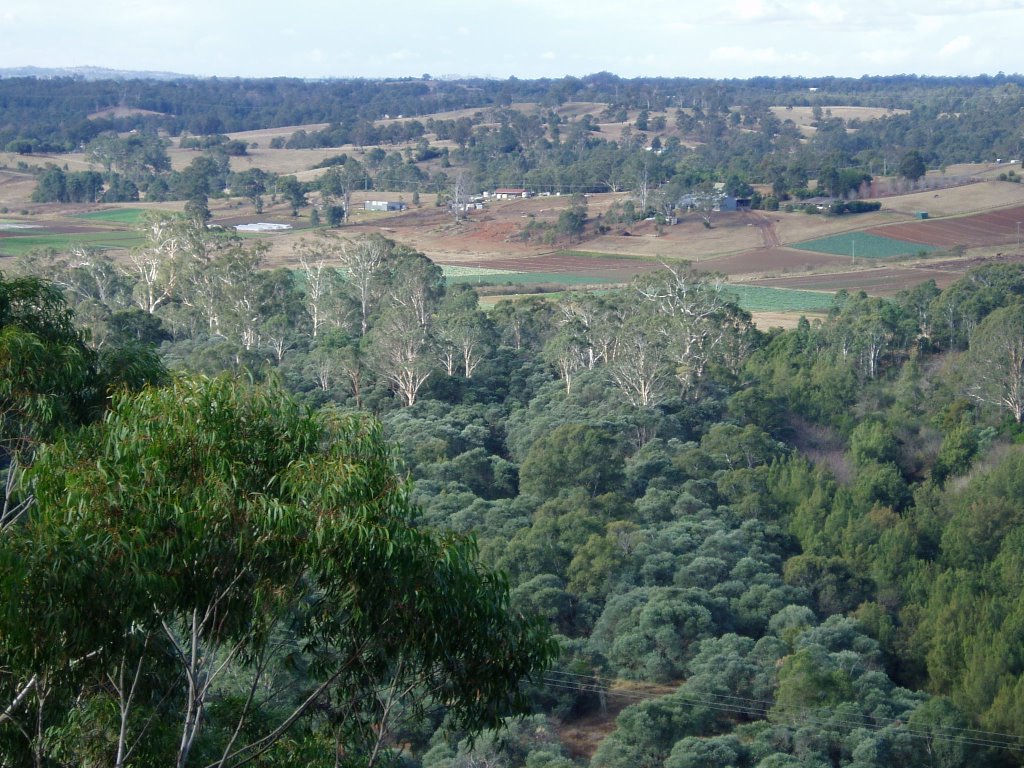
Hot showers (20 cents), an electric BBQ, fireplaces (Wood $8.00 per bag), tables, bins are available as well a walking track to a lookout (45 – 60 minutes return), swimming holes, and canoeing facilities. As can be seen by the photos, the best time to visit is during the colder months when Sydney siders are sitting at home by the fire watching "foody" on TV. Although expensive, we recommend a couple of days here to enjoy the peace and quiet and beautiful surrounds.

Camps Australia Wide No. 5 Site No. N – 0451
Camps Australia Wide No. 6 Site No. N – 0451
GPS: 33*55'58.0"S - 150*38'12.0"S
Select "Ctrl+" to increase size of photos and print


31st August 2006 - Mill Creek Camping Area, N.S.W.

31st August 2006 - Mill Creek Camping Area - Dharug National Park located on the northern side of Wisemans Ferry approximately 10k along the tarred road is a sign to Mill Creek camping & picnic area. Follow a dirt road for about 2k until you reach the camping area, the picnic area is a further 500m further on. Two walking tracks start and end at the Picnic Area. Plenty of firewood is supplied and there are good level camping areas available.

This site is not listed in Camps Australia Wide No. 5
or Camps Australia Wide No. 6
GPS: 33*24'02.2"S - 151*02'31.6"E
Select "Ctrl+" to increase size of photos and print